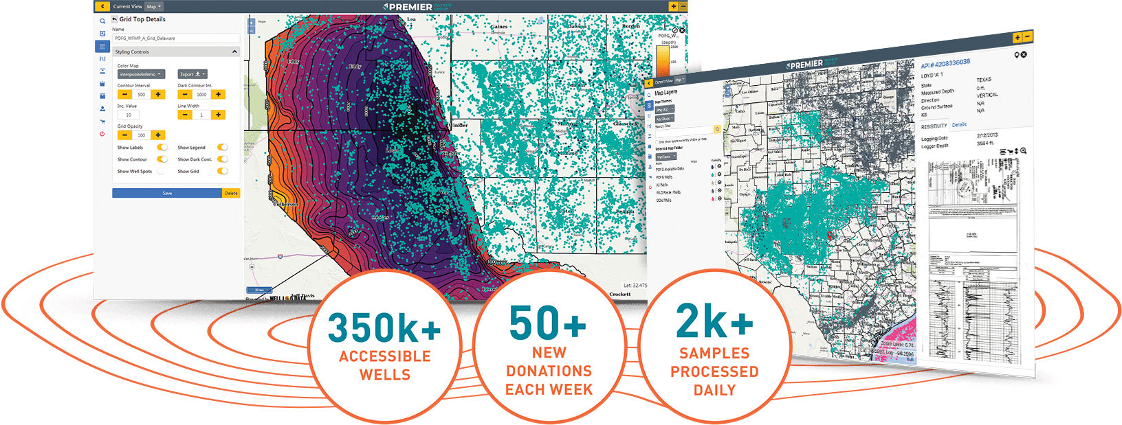

The Sample search engine for every available rock sample in the us.

Instant Access to Consistent, Reliable Rock Property Data
Subscribe today to digitally access millions of rock samples and thousands of existing measurements.
-
Refine and calibrate petrophysical models using compositional rock data
-
Determine source rock quality and organic content
-
Determine value and economics of a play without having to drill
-
Leverage Premier’s expertise for enhanced data interpretations and applications
Creating a Consistent Language to Understand and Compare Wells, Formations, and Targets
Premier Sample Library
-
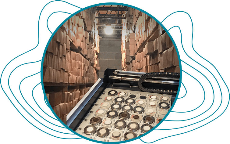
Core and cuttings from every major US basin
-
Over 50 million individual samples
-
Free storage for donated cuttings and core
-
Generate data at discounted rates
Largest Independent Rock Property Lab Team
-
In-house analysis ensures the most consistent data
-
60+ Geoscientists and data analysts
-
Rapid, accurate measurement techniques
-
Advanced cuttings analysis using proprietary techniques
DataStak™ Online Marketplace
-
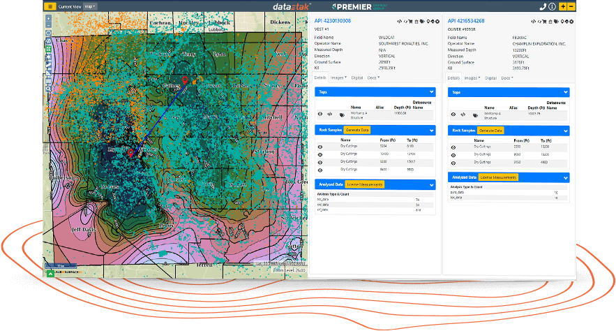
License data at any scale, from single points to entire basins
-
Built-in decision-making tools
-
Companion well logs available, plus customizable tops and structures
-
Secure on-demand data storage and access
-
Ability to upload user’s proprietary data to private workspace


BasinPak Membership allows users access to available data in a given region for a subscription fee. Subscription tier options are offered at variable time scales to meet your company's data consumption needs.
-
Individual or multiple basin subscriptions (Midland, Williston, Anadarko BasinPak)
-
Individual or numerous regional subscriptions (Permian or Rockies Region BasinPak)
-
Subscribing to all regions (All BasinPak)

The catalyst for geologic and petrophysical insight for asset investigation
-
Subscribers receive monthly updated regional property maps including mineralogy, brittleness index, organic content, maturity, saturations, etc.
-
Subscribers also receive extracted properties at every horizontal well for screening production performance based on geological conditions using tools like SpotFire and Power BI.
-
Petrophysical model integrates laboratory rock analysis from the Premier Sample Library database for the most accurate commercial geologic interpretation available.
-
Modeled log and rock sample data is meticulously quality controlled, depth matched, and conditioned to improve geologic consistency and prediction accuracy.
-
Users can tie subsurface reservoir conditions, rock properties and historical production data for finding overlooked acreage, target risk assessment and making capital allocation decisions.
-
Aggregated products are georeferenced using ESRI ArcGIS Pro and easily import to software like (Petrel, Decision Space, Kingdom Suite, Geographix, Petra, ArcGIS, etc.)
-
Interrogate both geologic properties and completion parameters driving production performance across your acreage.
Watch a quick presentation to learn more.

Sign up for a free basic account today!
BROWSE WELLS
ACCESS DATA
DISCOVER TRENDS